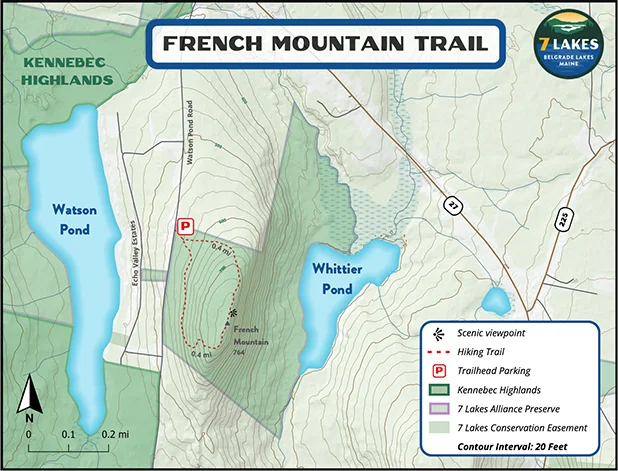
0.8 mile loop (200 ft. elevation gain)
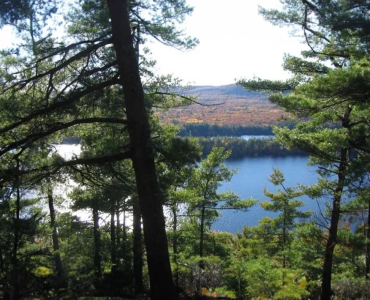
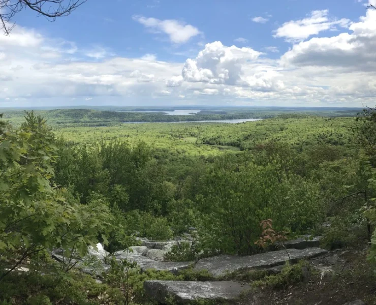
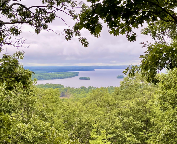
This popular 0.8 mile loop leaves from a trailhead on Watson Pond Road. It is an excellent choice for sunrise (or moonrise) walks. Hiking the trail clockwise is recommended, as the northern portion of the loop is steep and rocky at times, and is easier to climb than descend. Upon reaching the summit, hikers are rewarded with a panoramic view of Long Pond to the south and east. Continuing clockwise, the trail winds back down the mountain to the trailhead, with a less steep grade than the ascent.
Distance:
0.8 mile loop
Trailhead:
A parking area is located on the east side of Watson Pond Road, 0.7 miles south of Watson Pond Road’s junction with Route 27.
Trail Usage:
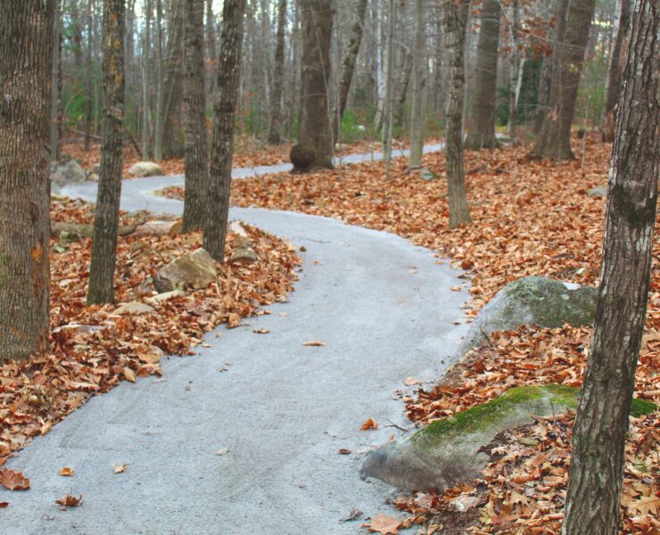
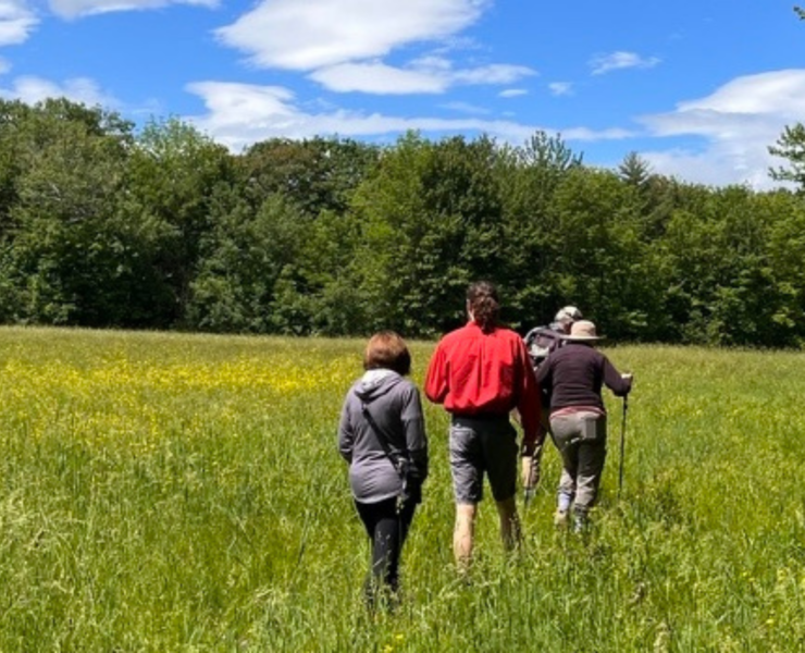
Biking, Hiking, Walking